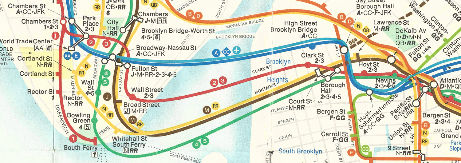
Mapping the history of New York City subway map.
One fragment at a time …
A documentary blog on the evolution of NYC subway map.
Documenting the historical evolution of the subway map of New York City, explaining the changes that have occurred in the design. The period covered is from 1875, when the first effective planning maps were drawn up, through the opening of the subway in 1904, to the present day.